
Satellite image of the swelling South Platte on September 17, as it heads for northeast CO.
Image provided by CIMSS.
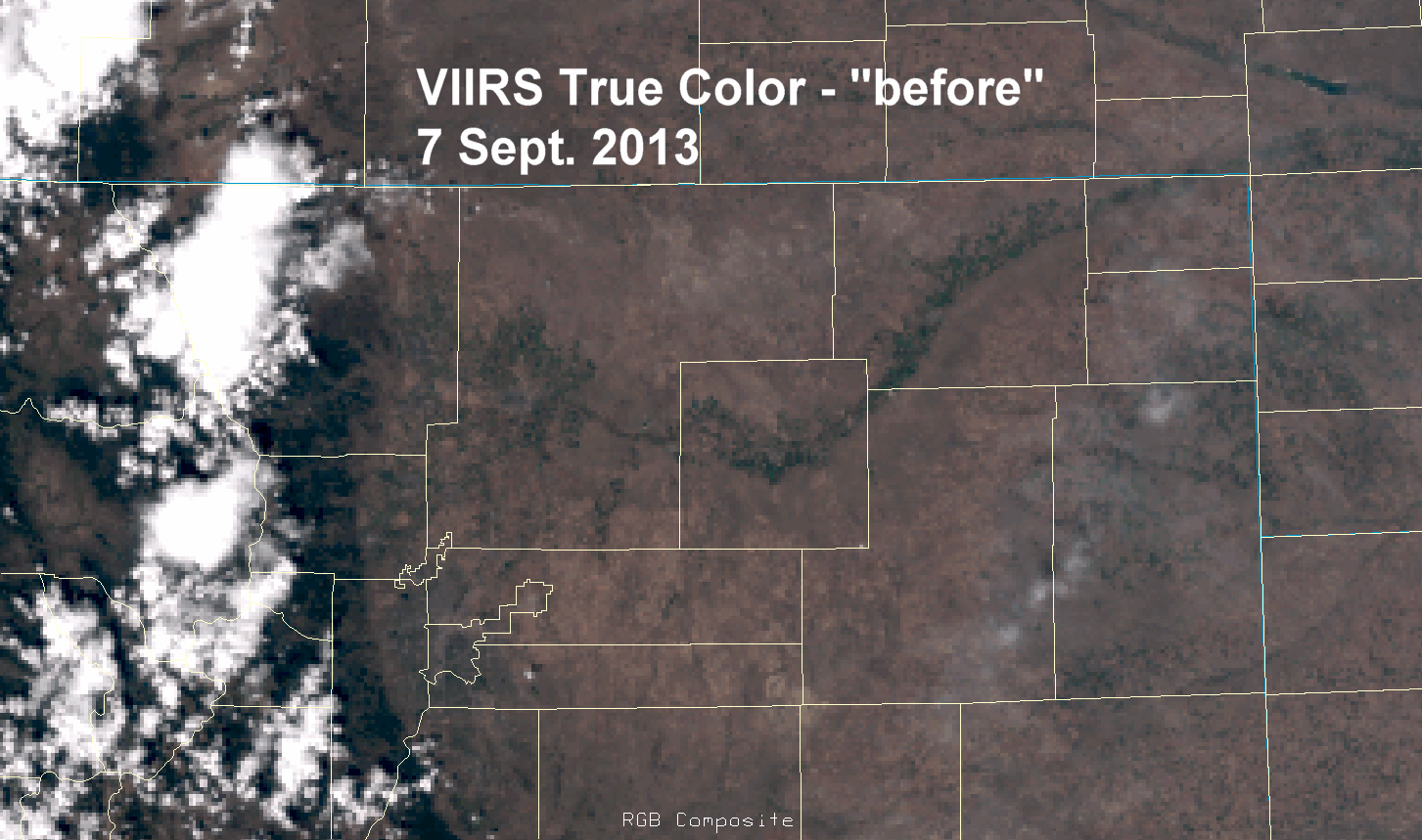
A "true color" satellite image from VIIRS showing the greening up that occurred in the region
after the heavy rain event. Images provided by CIRA.
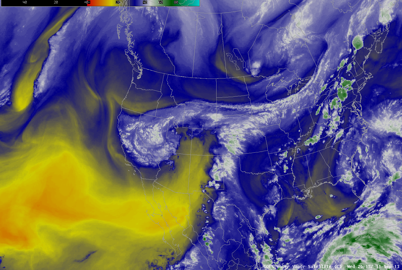
Water Vapor imagery showing the very moist air being advected into the region on Wednesday,
September 11 into Thursday, September 12. Animation provided by CIMSS.
|
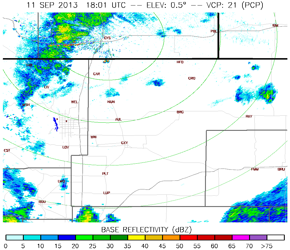
Radar loop from the Cheyenne, WY radar, showing the intense precipitation that fell over northern
Colorado on the aftenoon and evening of September 11. Animation provided on Brian McNoldy's CSU Radar
Image Archive
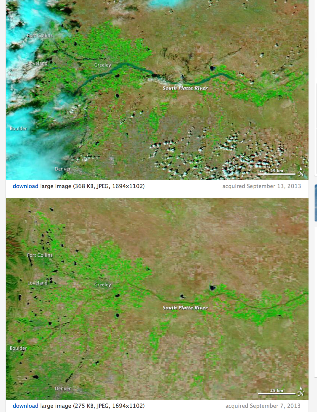
MODIS images before (bottom) and after (top) the flood event, and the resulting increasing flows along the South
Platte. Images provided by Earth Observatory.
|