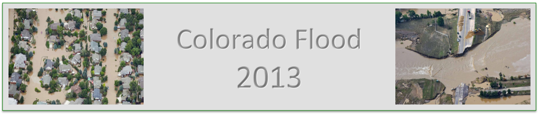
|
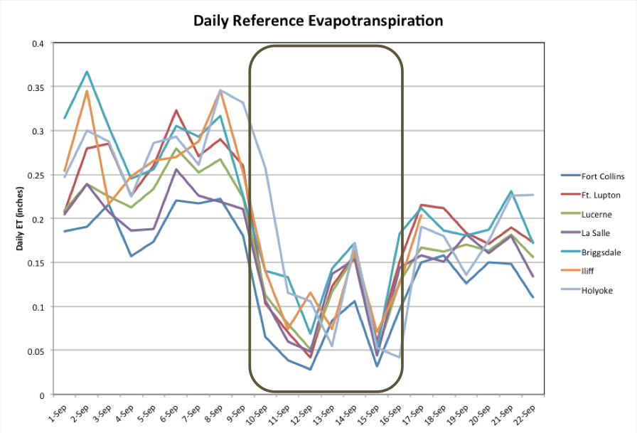
The above graphic shows reference evapotranspiration at several sites across northeast Colorado.
Evapotranspiration (ET) is the amount of water that evaporates from soils and plants. Reference
ET refers to a measurement of what could potentially evaporate from the soils and
plants if there were water available (these sites refer to ET off of alfalfa). Since the Colorado
plains exist in a semi-arid climate, there is only limited water available much of the year to
evaporate and transpire except in the areas that are irrigated. Therefore, most of these reference
ET sites are located in or near fields that are well-watered throughout the growing season. Average daily ET rates at these sites generally range from .15 to .25 inches during September (averages calculated from Lucerne and Holyoke). That means almost a quarter inch of water is lost to the atmosphere every day. In northeast CO, we are usually losing more water to the atmosphere than what we gain in the warm season, since daily rain rates are usually lower. In the above graphic, sites from the west side of northeast CO (Fort Collins and Fort Lupton) all the way to the far eastern plains (Iliff and Holyoke) were recording daily ET values between .15 and .35 inches in early September. These ET rates were the result of sunny, warm, and low humidity conditions. Very little to no rain fell on these days either. On September 9th, all of the sites show a dramatic drop in daily ET. Throughout the entire duration of the storm event, daily ET values were mostly below .15 inches. ET was suppressed because of cooler temperatures, cloudy conditions, and high relative humidities. The one exception to this was Saturday, September 14th. This day, the entire region saw a slight reprieve from the precipitation earlier in the day, allowing ET to increase. The return of storms on Saturday night through Monday is also evident in the graph as ET values dropped again. For this entire event, daily precipitation rates were much higher than daily ET rates. So the ground was gaining much more water, rather than losing water to the atmosphere. This helped aid the high runoff values seen on the rivers and streams. |